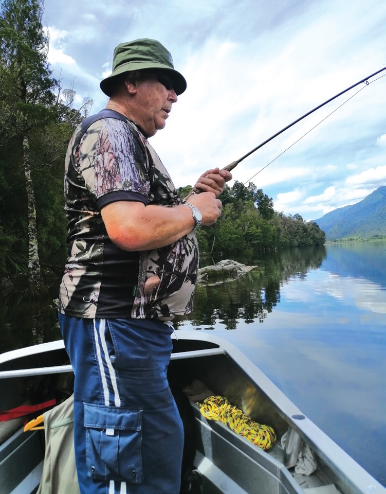
Kingfish are still on the move
Tag and release
Commercial fishers mainly targeting jack mackerel but at times other species have been tagging kingfish for several years and it is heartening to see a number of recaptures have been reported with some being at liberty after tagging for several months.
This data allows us to see that they migrate but not unfortunately where it has travelled in the interim period. To do this it would require the use of a much more expensive tag that would record latitudes and longitude and other data. Lengths are recorded once tagged and released, and again on capture so that we can measure growth over time.
In the past the main fishing areas for kingfish have been the east and west coast of the North Island and Northland but in later years they have shown up more on the west coast and southern regions of the South Island. One reason for this could be the warming ocean currents but we need more water temperature data to correlate this with this assumption. Such work is ongoing and we have reported previously on the industry contribution to Met Ocean sensor data collection.
Whilst the tagging of kingfish has been predominately done in the South Taranaki Bight, more recently one of our vessels fishing for other species in the Snares Island area in southern New Zealand have caught kingfish as a bycatch. This allows us to tag kingfish in areas where they are not traditionally found. It will be interesting to see how far these fish may venture.
Those tagged in the Taranaki Bight area have shown up as far north as Northland and Hauraki Gulf as shown by the plot. The shortest distance was about 5 nautical miles and the longest 550 nautical miles. Most of the recaptures have been off the west coast of the North Island or top of the South Island with a couple of standout migrations to Hauraki Gulf. These fish were about 80 cm long when tagged north of Farewell Spit about the same time around the beginning of 2021 and moved 525-550 nautical miles (shortest distance by sea) in 330-361 days. It is possible that these fish were part of the same school which shifted along the coasts of the North Island. Overall, the shortest period at liberty was 229 days and longest 747days.
Kingfish stock assessment
Statutory catch, effort, and landings data from commercial fisheries are used to develop indices for our fisheries and in particular the mid water fisheries. Standardised catch per unit effort (CPUE) have been developed for the KIN 7 and KIN 8 which constitutes the west coasts of the North and South Islands. Regular monitoring and updates to the analyses have shown the increase in levels in both areas. The CPUE plot shows how far above the target level (horizontal blue dashed line) the stocks currently are at. Avoidance of kingfish is an issue and can cause the changing trend over time. The impact from deemed values also cause fishers to avoid. If they do not have quota to cover their catch they are penalised. The need for the quota level (Total Allowable commercial catch – TACC) to increase is something that is paramount and may need adjustment.

More information on kingfish and these analyses can be found on the Ministry for Primary Industries website under Plenary documents.